Project Abstract
Recent research indicates that disparate levels of risk perception impact a community’s ability to function cohesively. Individual risk is often understood through the lens of whether a particular location was flooded in a past flood, failing to capture the whole interconnected dimensions at the community level. Potential benefits of mitigation projects are often presented as deterministic without accounting for climate variability or projected land use changes. In addition to individual risk, economic and social conditions can amplify risks to specific populations and groups with communities.
The objective of this planning project is to identify how recent advances in hydroinformatics technologies including hydrodynamic modeling, geospatial visualization, and fusion of heterogeneous data for socioeconomic analysis, can empower diverse stakeholders in flood-prone communities to understand flood risks and engage in formulating and supporting flood mitigation strategies.
The goals of this project are:
(1) to test research hypotheses on possible solutions for reaching community consensus related to flooding risks and developing a shared vision for addressing these risks at individual and community scales, and
(2) to refine a conceptual framework for using hydroinformatics technologies to overcome these challenges.
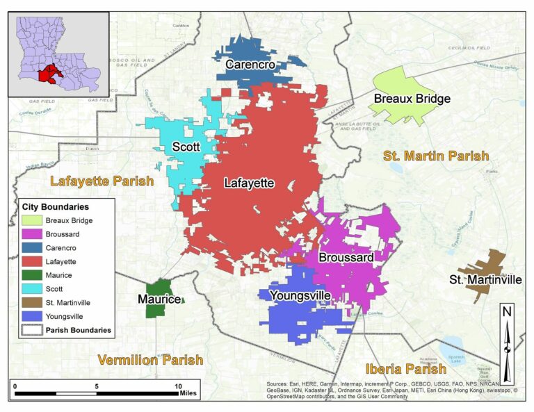
Lafayette, LA
The parish of Lafayette in south Louisiana has several urban centers, including the cities of Lafayette, Scott, Youngsville, and Broussard.
Community
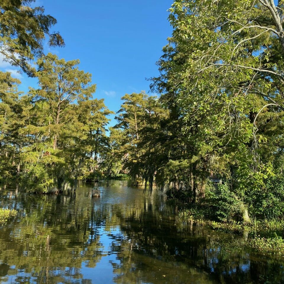
The community of interest is Lafayette Parish in Louisiana, USA, that exemplifies experiences of other US communities facing increasing flood risks caused by climate and land use changes. Lafayette Parish experiences occasional riverine flooding but rare coastal flooding, leaving the community to initially consider itself as a low-risk flood zone. The area is characterized by low gradient topography, which results in slow drainage patterns and repetitive flooding. Combined with the presence of large natural storage areas (e.g., swamps) the area witnesses complex flow regimes such as reverse flows and backwater effects that complicate the decision-making process about which flood mitigation measures to pursue and may lead to controversial views about effectiveness of such measures.
In August 2016, Lafayette Parish experienced a historic flood caused by a low-pressure system that resulted in up to 31.39 inches of rain in three days. Twenty-six of Louisiana’s sixty-four parishes were declared federal disaster sites, including Lafayette Parish
Within the parish itself, significant flooding occurred to the City of Lafayette, outlying suburbs, and adjacent southern parishes. The 2016 Floods also drew attention to the connected nature of Lafayette Parish’s watersheds, as communities downstream from the City of Lafayette faced challenges regarding the flow of water through the region.
Planning Grant Activities
In this project, we will conduct interviews and interactive workshops engaging diverse stakeholders to: a) assess information gaps about flood risk, b) identify web-based applications integrating hydrodynamic modeling, geospatial visualization, and socioeconomic analysis to enhance engagement and collaboration across multiple sectors, and c) develop technology-driven engagement tools informed by stakeholder needs.
This project will work with community stakeholders and groups in flood-prone communities to codevelop technological tools that will promote a broader and more comprehensive understanding of flood risks stimulating consensus and support for flood mitigation strategies that can reduce the devastating and costly impacts of flooding. Working closely with community stakeholders, the project will provide diverse groups access to easily comprehensible information and customized tools to engage in decision making and discover common ground facilitating conflict resolution. The project team will support groups in identifying their current knowledge gaps and tool preferences, facilitating the development of appropriate technology for knowledge exchange and decision making. Additionally, the co-development of this technology will enhance social capital development at the individual and community scale.
Next Steps
This Planning Grant will prepare our team to submit a full SCC-IRG proposal. Our vision for the full proposal is to collect, produce, integrate, and enable the use of information from multiple sources (e.g., hydrodynamic simulations, socioeconomic datasets and analysis). Our working assumption is that such integrated information will lead to a more connected community (including residents and decision makers) and allow community members to collectively engage in flood mitigation and be able to identify opportunities where quality of life, flood resilience, and economic development can be jointly accommodated.

